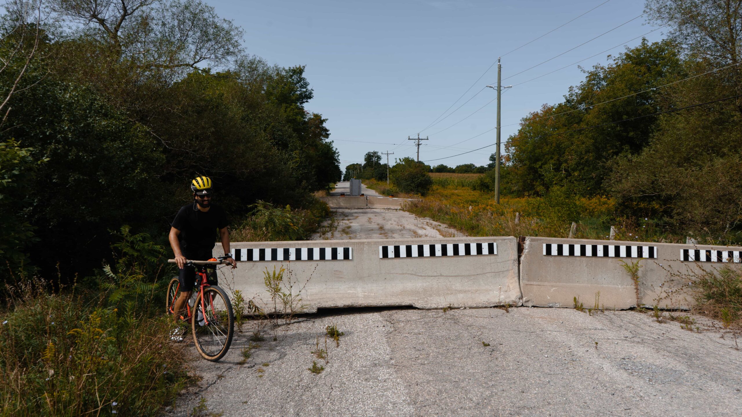
It’s been 2 years of trying to get this ride right, and here we are, we won’t share all the failed attempts — but it’s here and ready: Rouge Valley to Uxbridge! This ride is an extension of our Rouge Valley North story. So, we guess this makes this the Rouge North…North story.
All land that we ride is stolen land. We acknowledge that and The Rouge Valley is the traditional territory of many nations including the Mississaugas of the Credit. Uxbridge is the traditional land of the Haudenosaunee, Huron-Wendat, Chippewa and Mississaugas, this area has long suffered from the aftermath of the Williams Treaty of 1923.
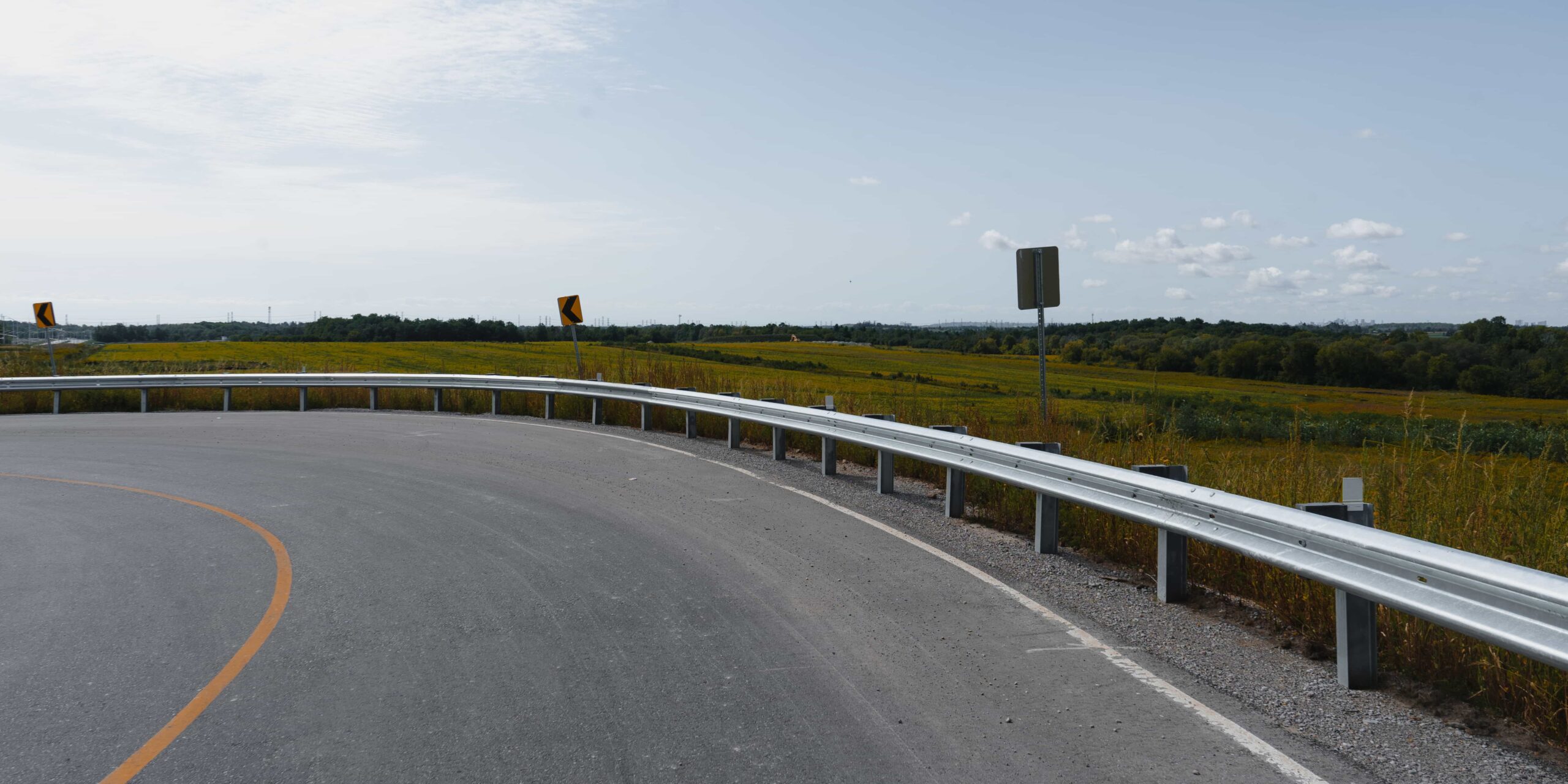
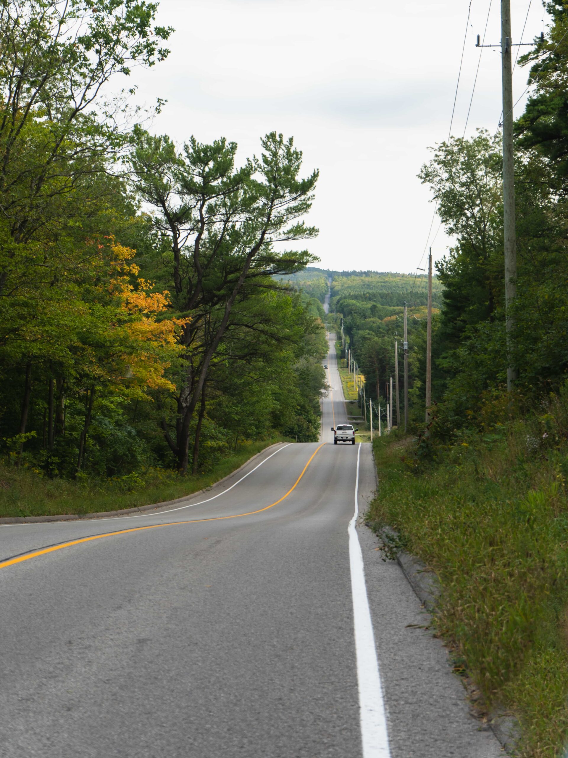
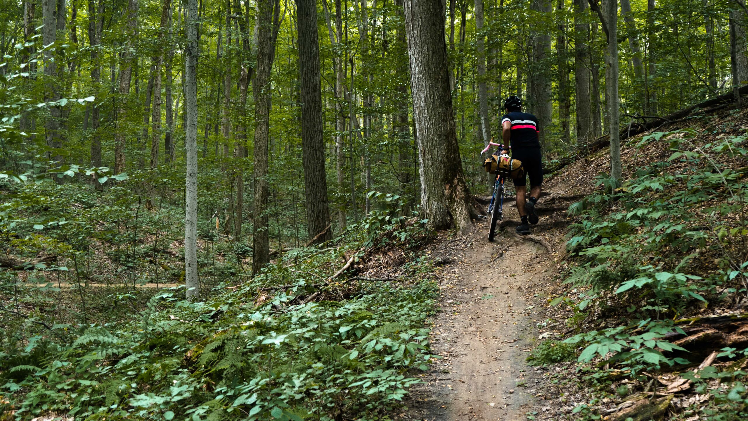
We wanted to see if we could connect some of our disparate explorations northward to Uxbridge through trail systems, conservation areas and open, quiet farmland roads and we figured it out y’all. This ride is going to take you on a north-east climb through as much forest and rural farm as possible, it’s quite the elevation gain – but do it at your pace. This is a 135km route that includes a little but of every kind of off-road bike fun. Friendly PSA, bike adventures are for everyone, we walk our bikes and stop for snacks All. The. Time. Don’t let anyone tell you that’s not cool. For all that climbing, you’ll get rewarded with some pretty fun descents throughout.
For the record, this is our longest and most challenging route to date, it doesn’t need to be done in a single go. Do sections, do it one way…start at the top and come down?! Do what you do, how you do and be you boo.
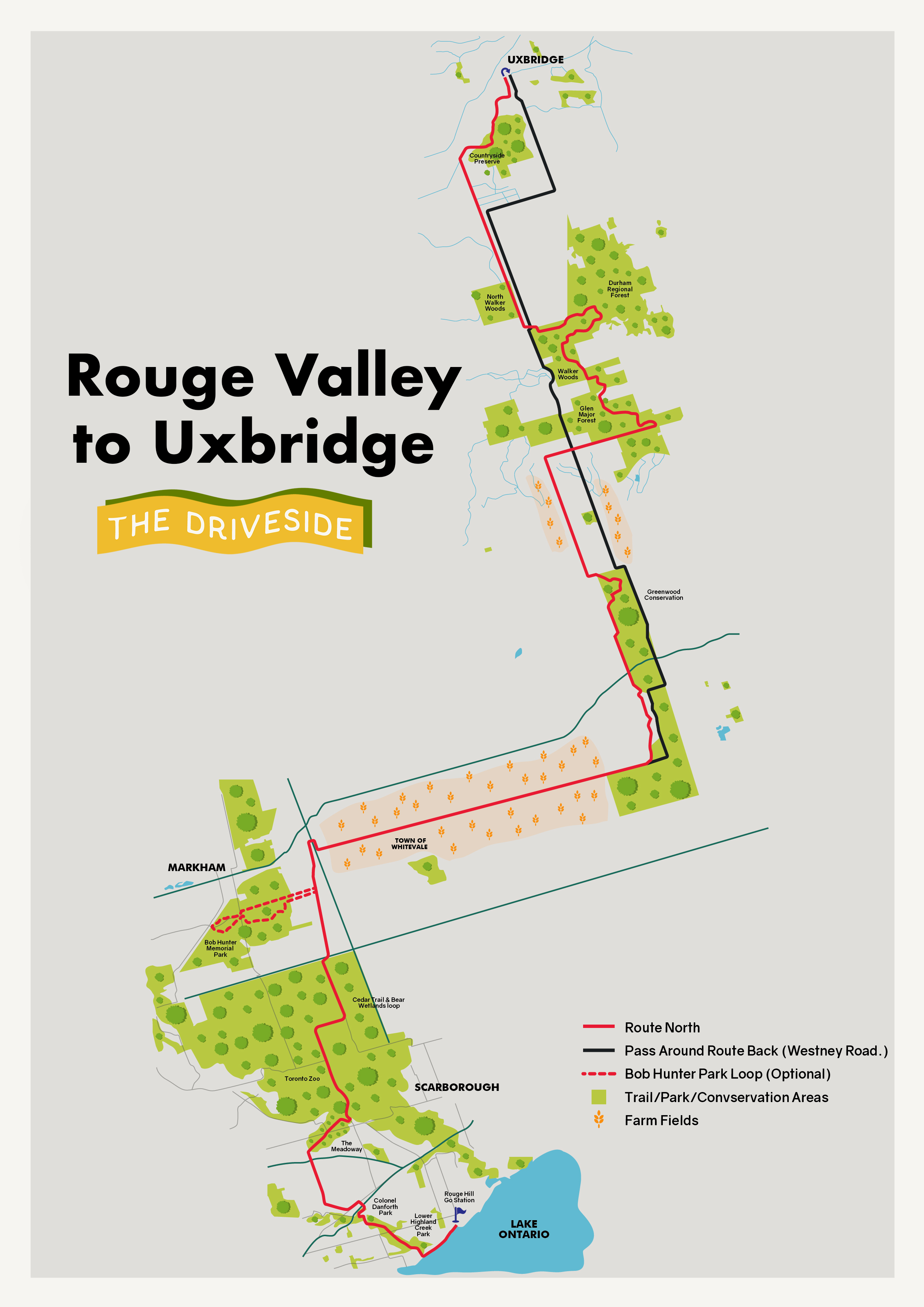
This route is going to keep going where our Rouge Valley North ride leaves you, eastbound Bob Hunter Memorial Park. A recap, the original story covers southern sections of the Rouge Valley northbound from the Rouge Hill GO station through: Lower Highland Creek Park, Colonel Danforth Park, The Meadoway, Cedar Trail & Beare Wetlands Loop and Bob Hunter Memorial Park.
We’d recommend a tire size of at least 35mm/1.35” in width to be ready for all the gravel roads, single-track and some rooty areas this route is going to throw at you. You can find food along the route, but snacks and hydration are recommended, trail and gravel climbs love some snacks. Let’s send it.
The Ride
Distance: 135 km Elevation Gain: +1172 m. / + 8.4%
Difficulty: Moderate | Topography: Hilly (+1172 m.) Terrain: Trail, Gravel, Road
User guide: Click to expand the illustrative map below, of the full ride. The Ride With GPS map above can be used with the mobile app to guide your ride This RWGPS map, also featuring the full route.
1. Whitevale Rd.
2. Greenwood & Claremont Conservation Areas
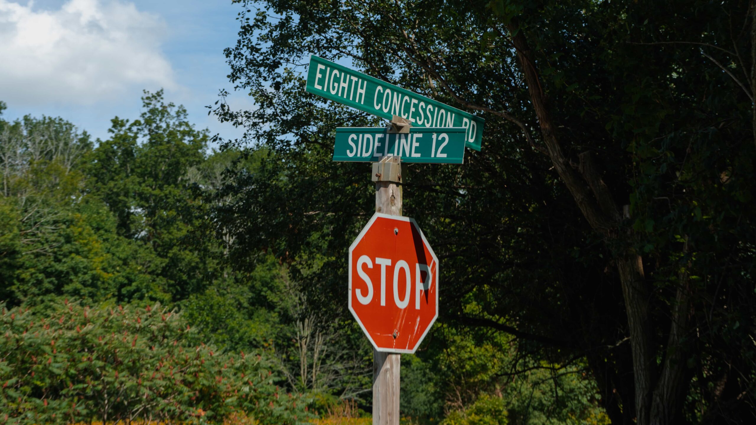
3. Sideline Rd. 12 (The Climb)
4. Glen Major Forest & Walker Woods
5. Westney Rd. Descent (Homeward)
1. Whitevale Rd.
2. Greenwood & Claremont Conservation Areas
3. Sideline Rd. 12 (The Climb)
4. Glen Major Forest & Walker Woods
5. Westney Rd. Descent (Homeward)
1. Whitevale Rd.
Difficulty: Easy | Topography: Flat Terrain: Road, Packed Gravel
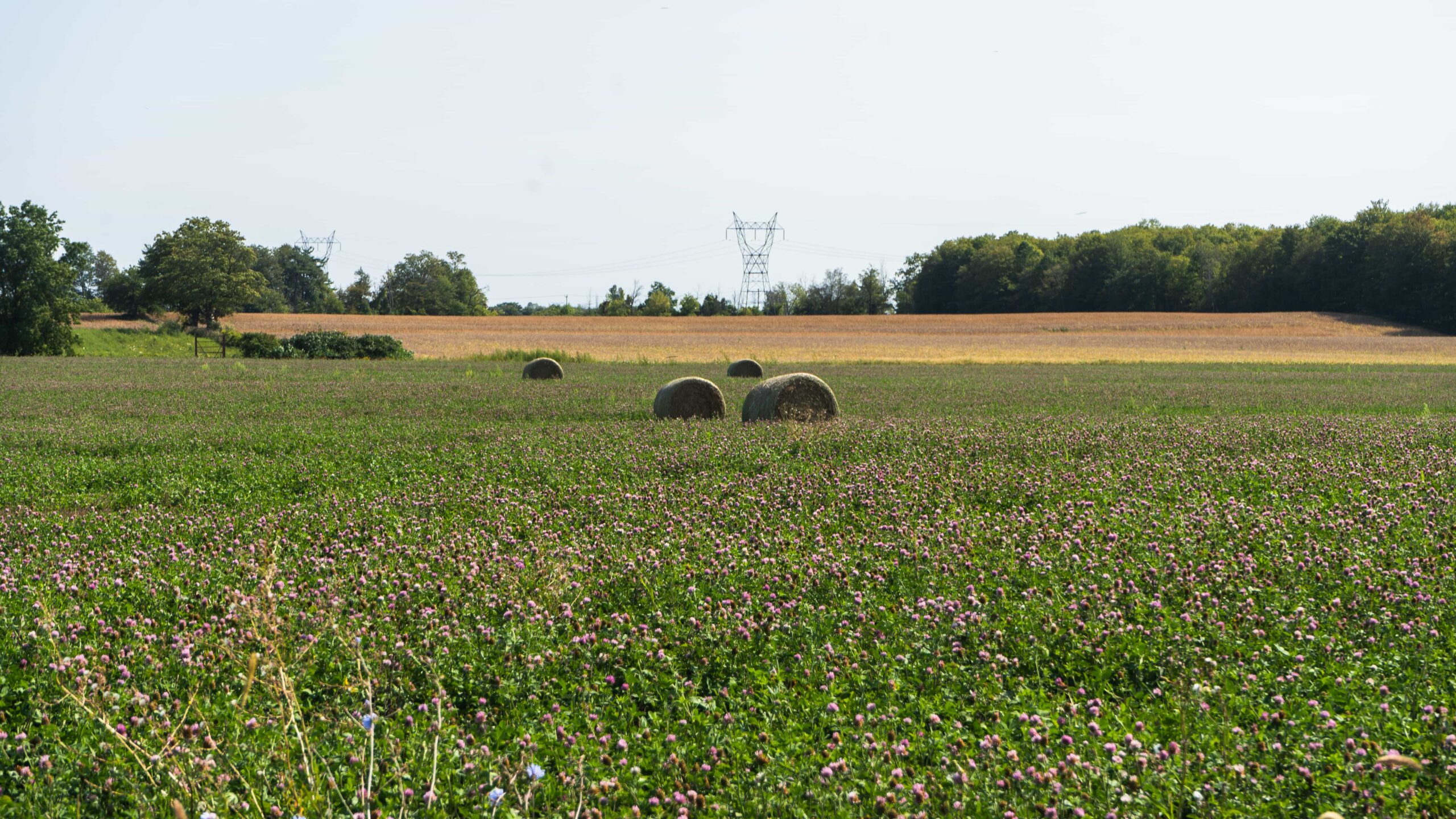
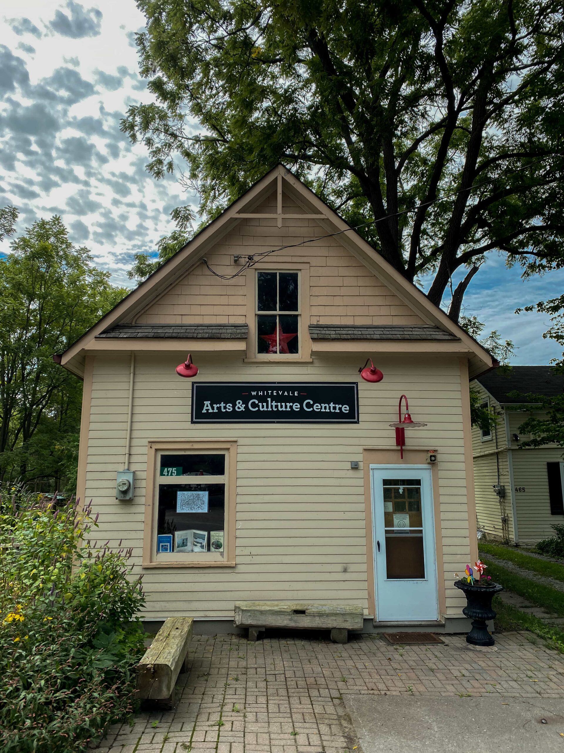
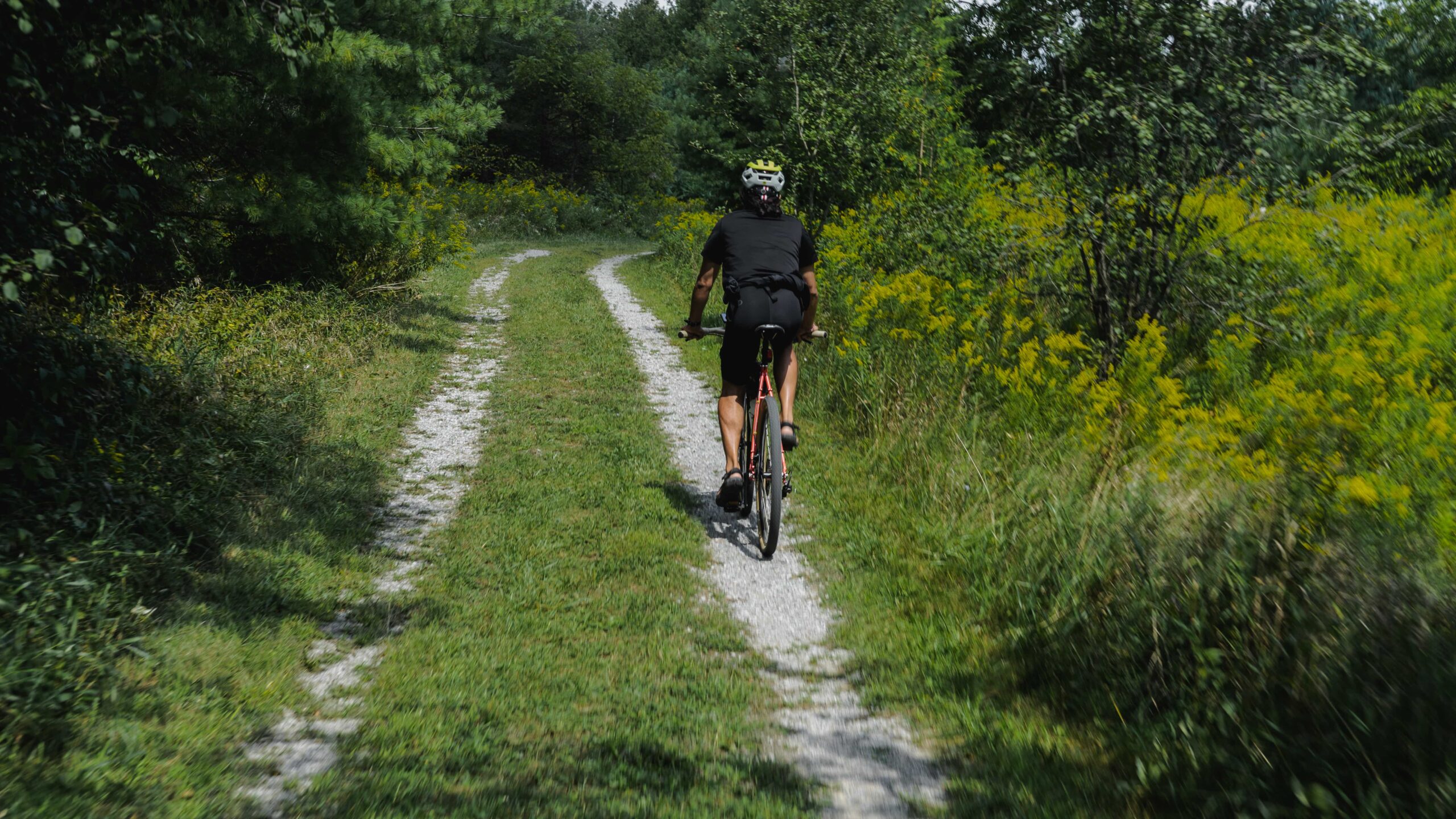
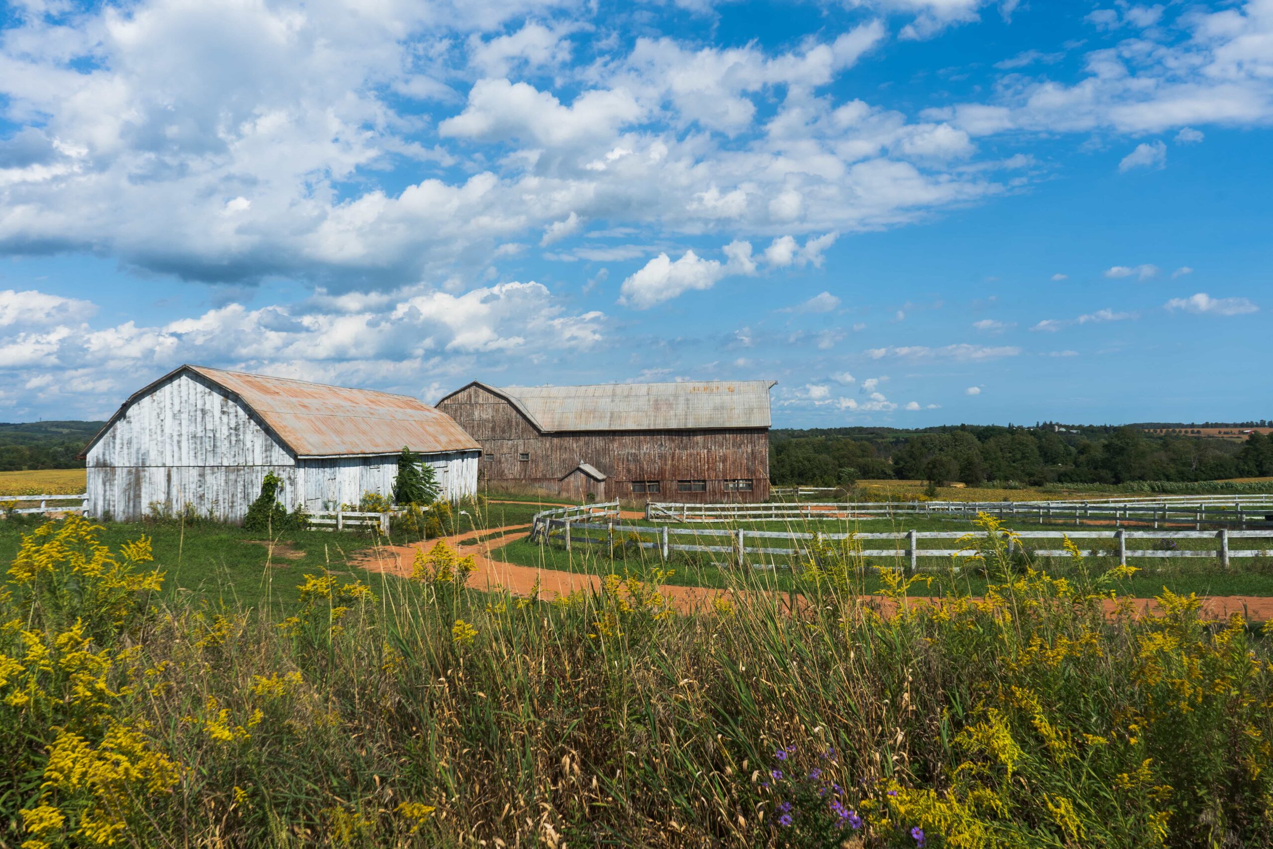
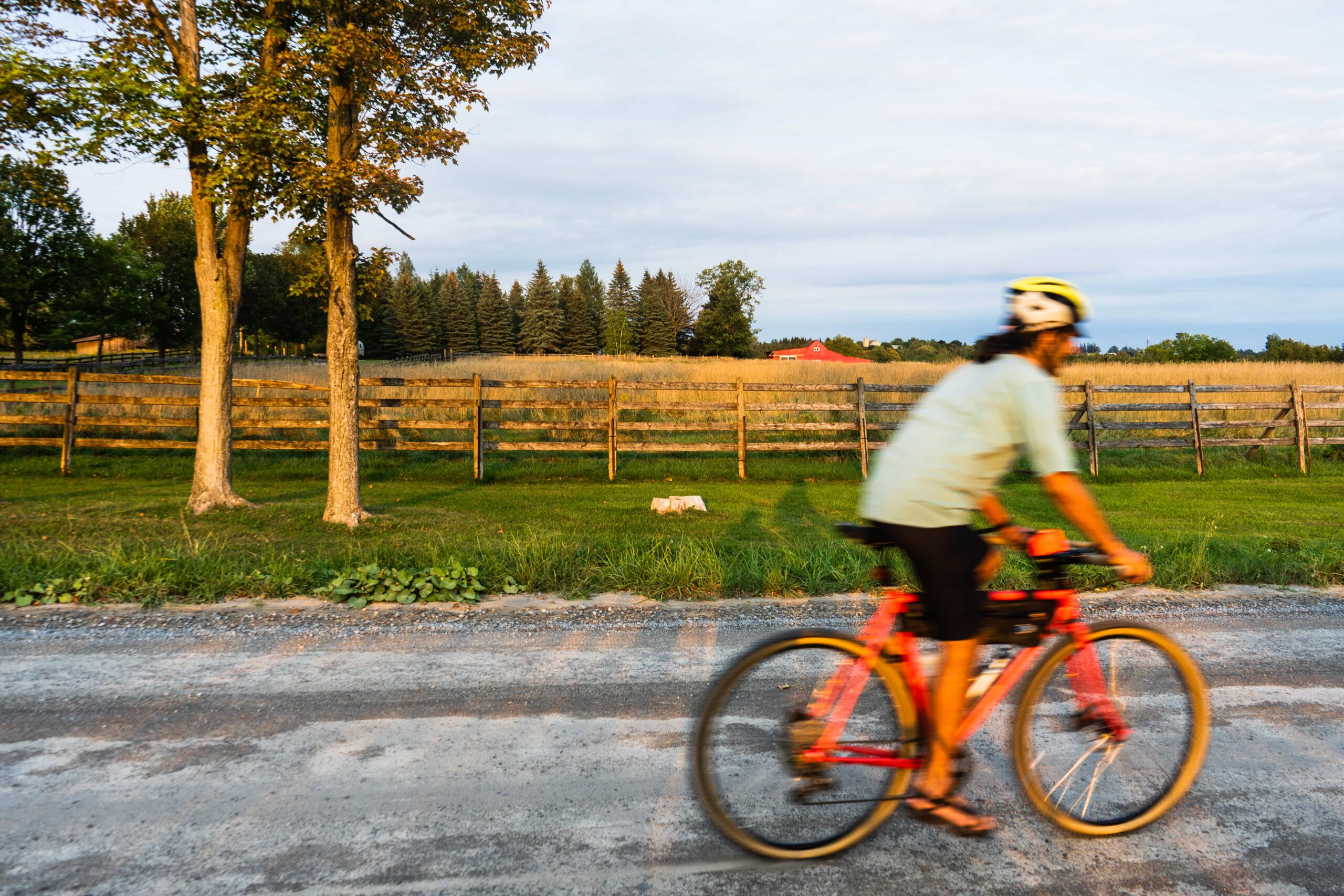
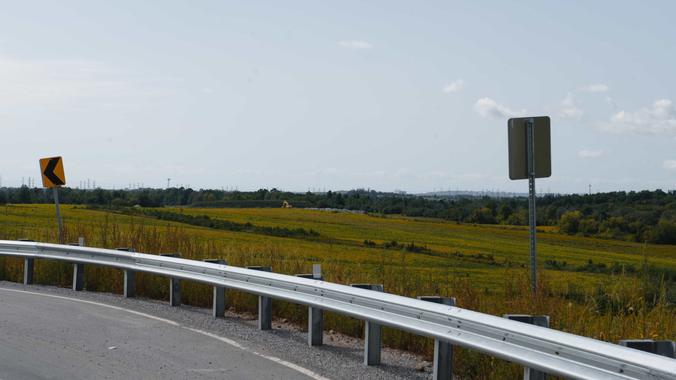
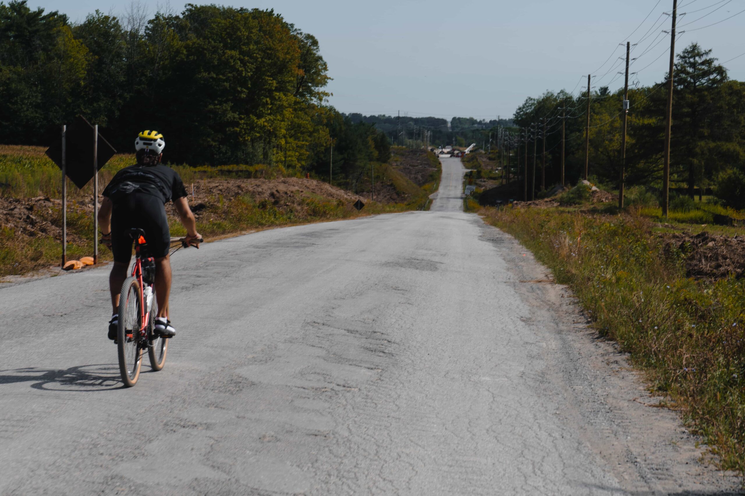
Open, slow, winding country road (read: farms & cows) that takes you east on this ride, before putting you north. Reminder, this ride is picking you up from our Rouge North ride, heading east via 14th ave and then 11 Concession.
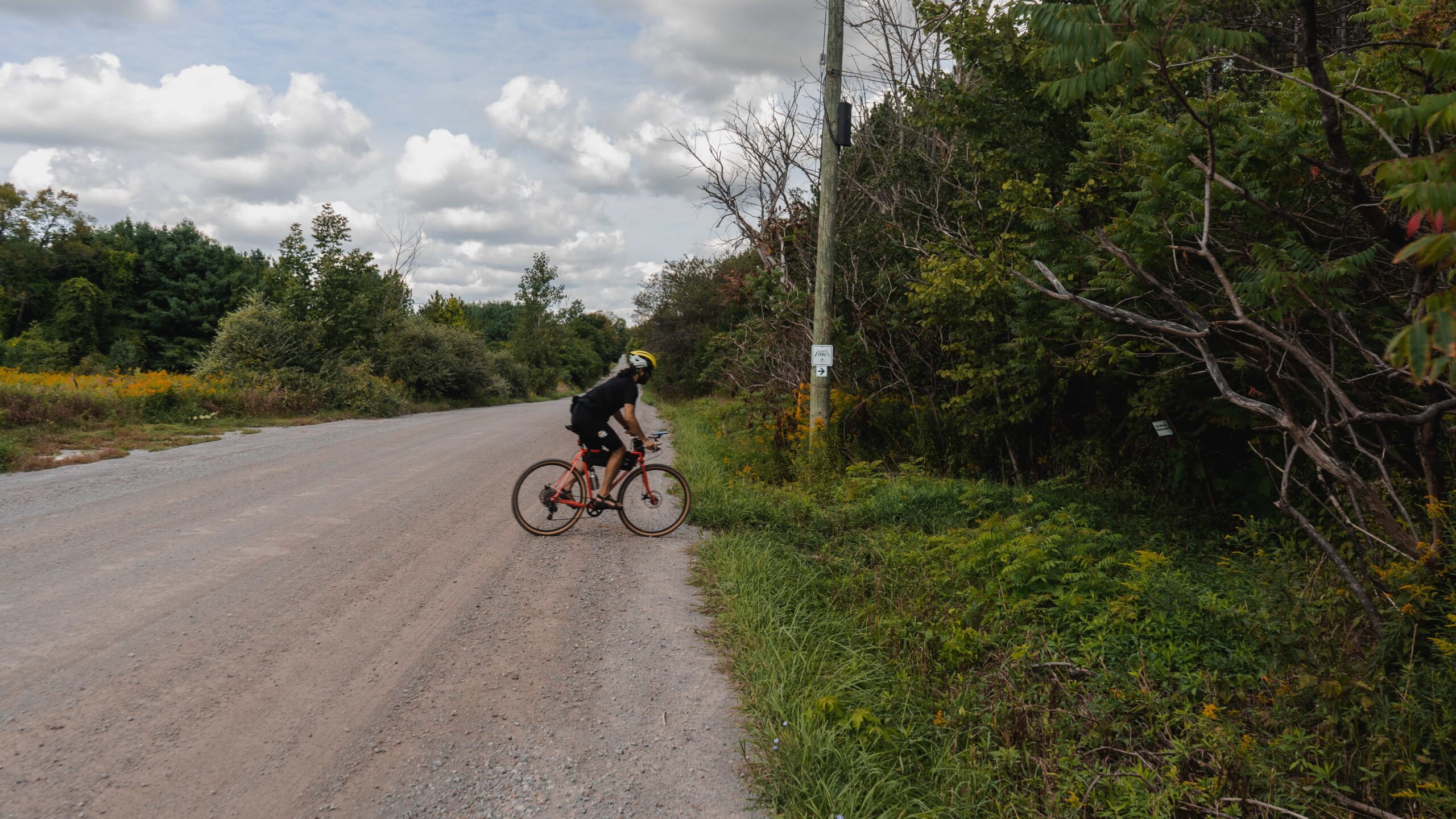
You’ll hit a fun, bumpy descent right into the small, quaint town of Whitevale. A great stop for a rest break and some snacks.Take the road right out of town until Whitevale becomes Concession Rd. 5.Fun country road rumbling, that hits another fun quick descent, this one winding – a highlight of this segment! Easy to get carried away, but be careful — this is where we hit our first left turn for tree-cover.
2. Greenwood & Claremont Conservation
Difficulty: Moderate | Topography: Slight Incline Terrain: Trail, Packed Gravel
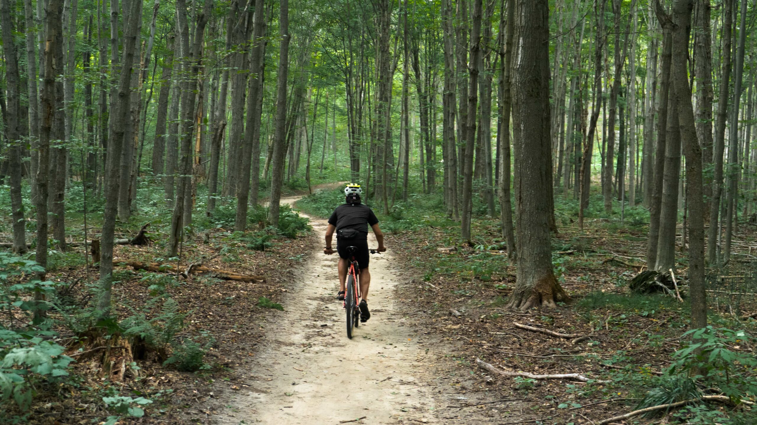
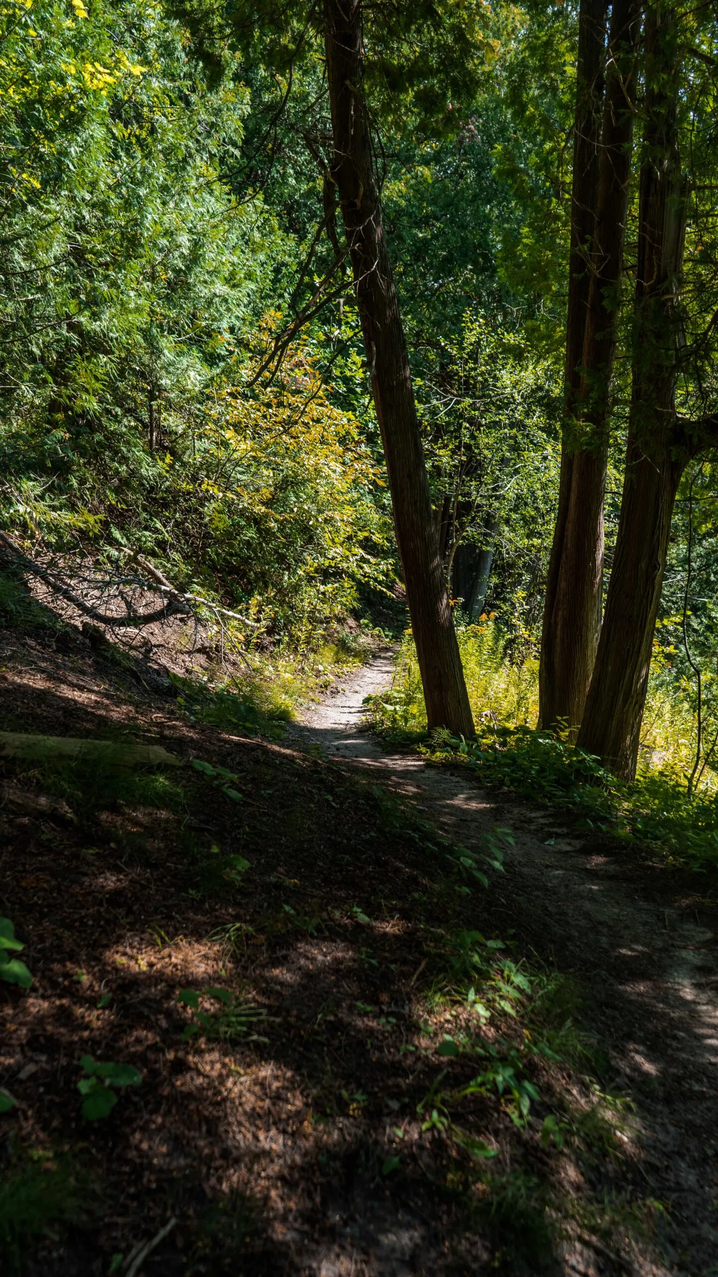
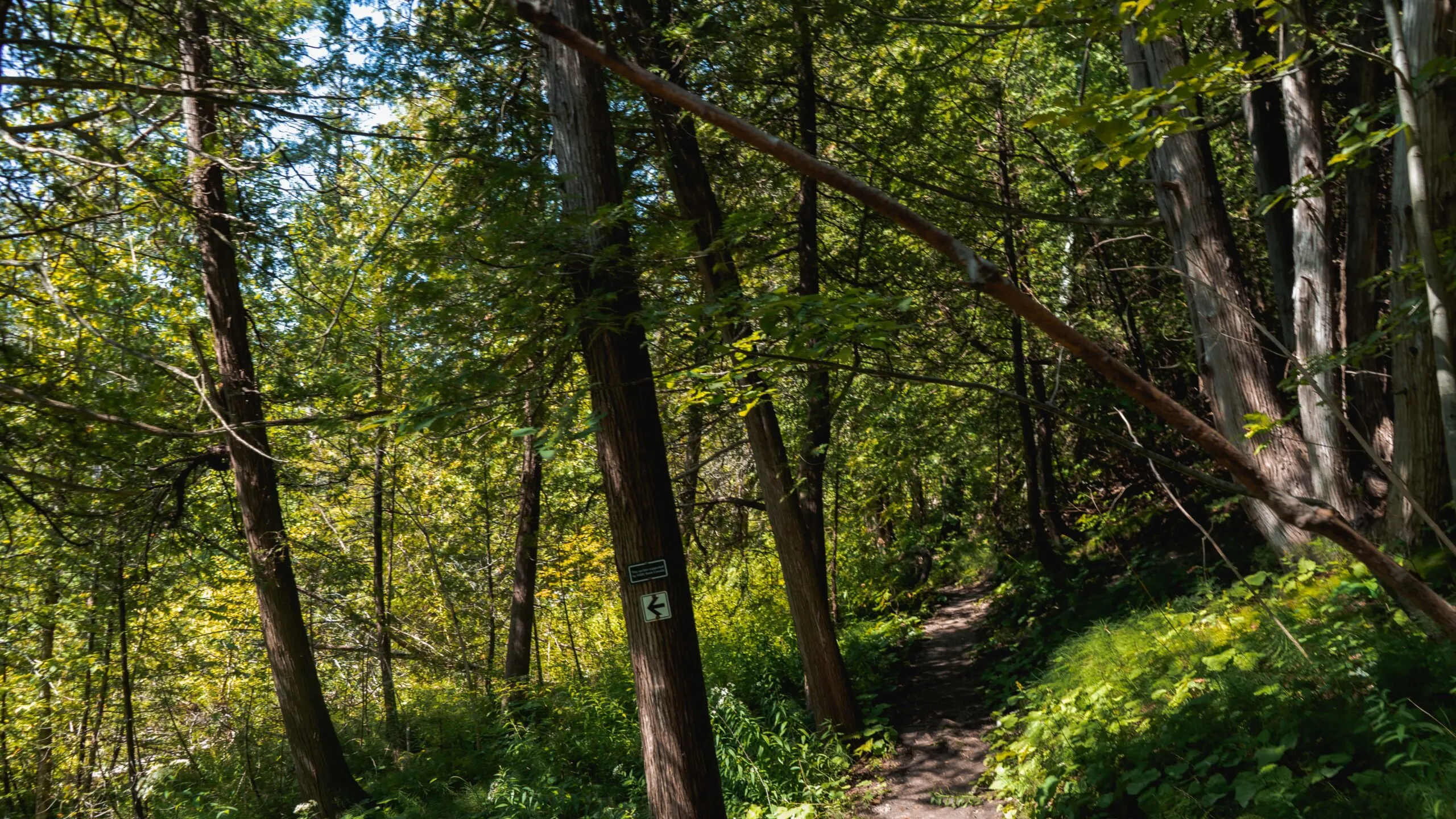
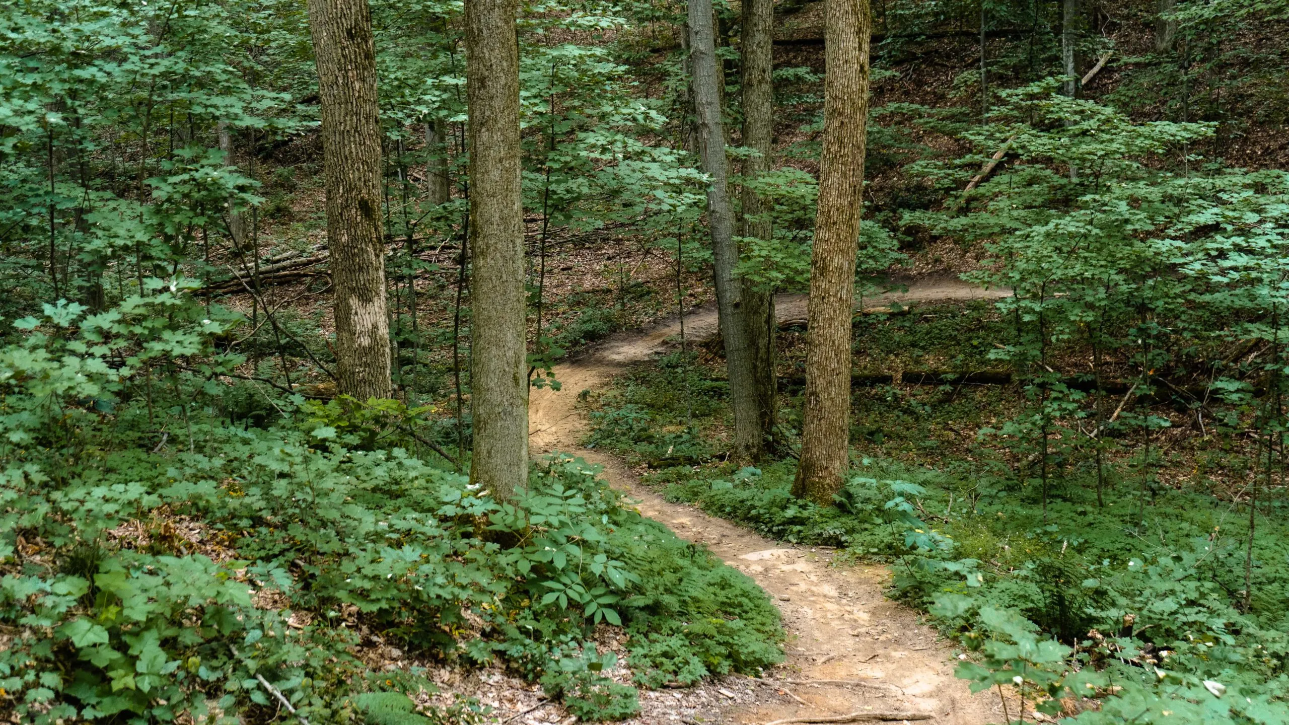
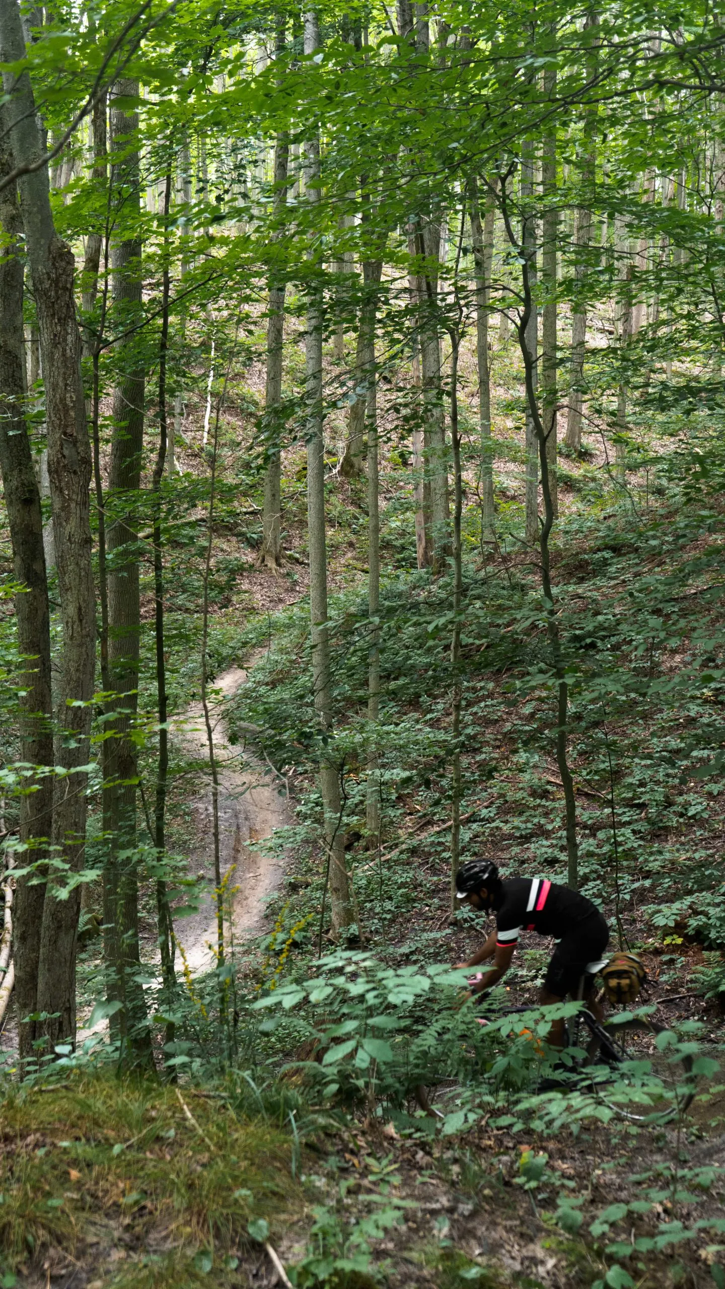
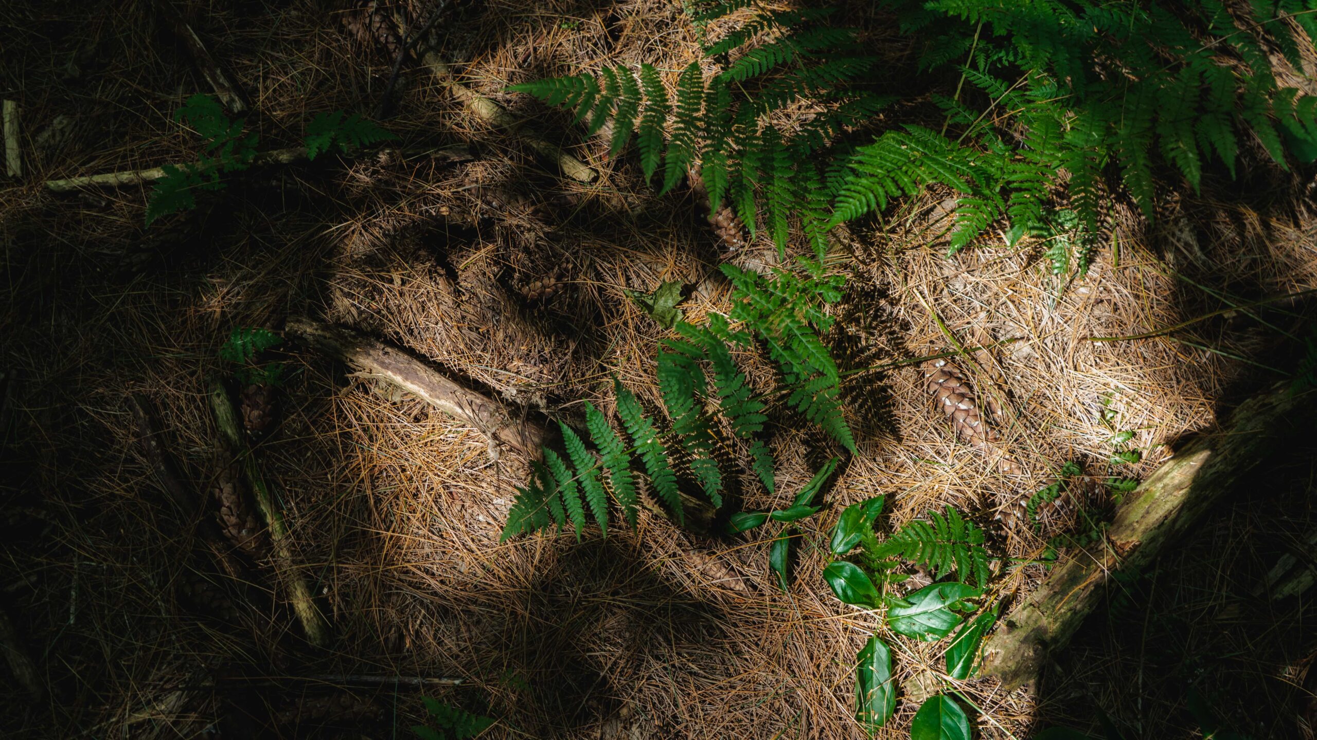
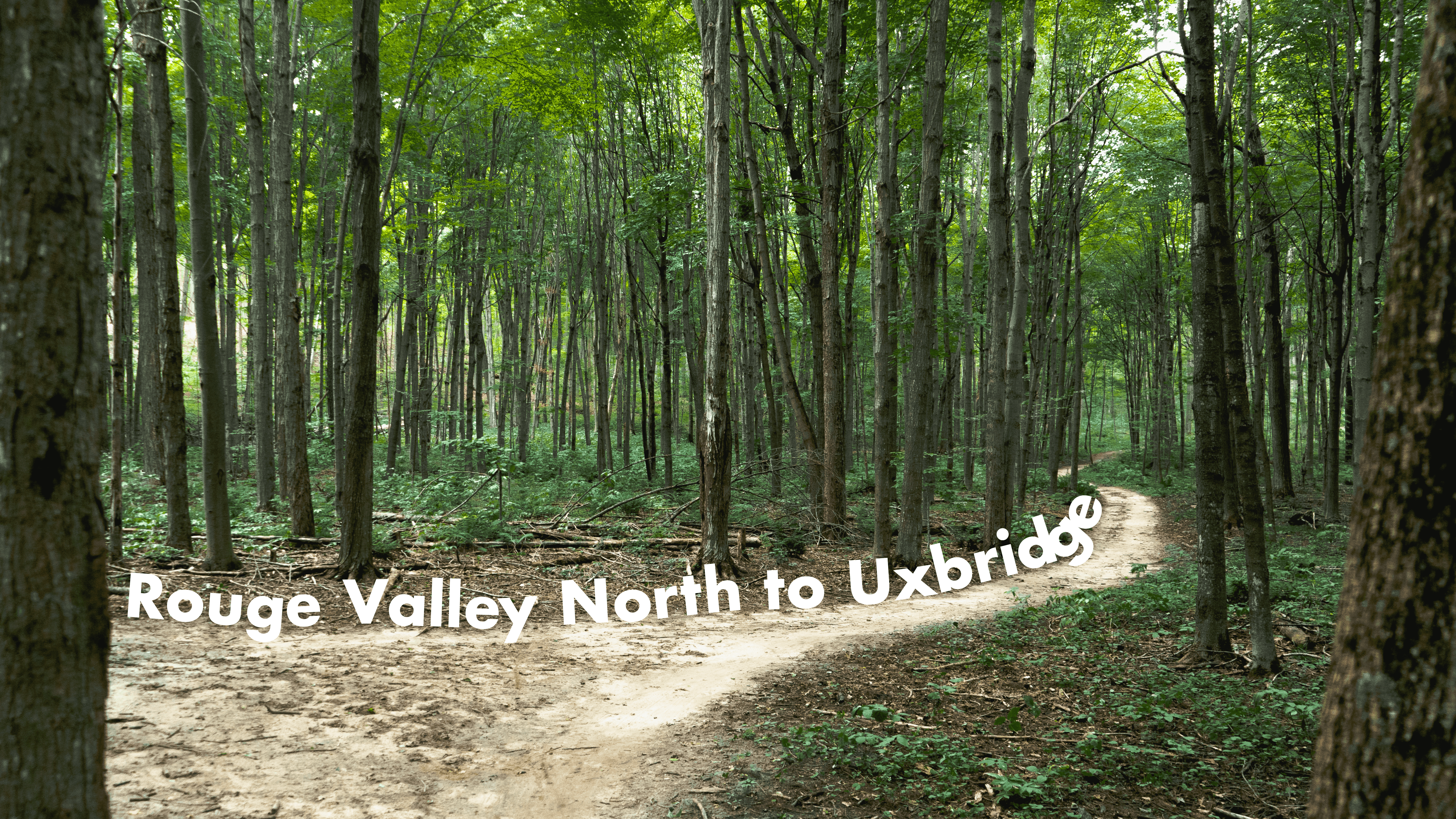
Here we go, arriving at Greenwood Conservation area feels like stepping through the door of Narnia. The wonder that hits when you enter the forest with your bike to hit a trail, is just something else — you’ll get engulfed in the trees as soon as you’re in.
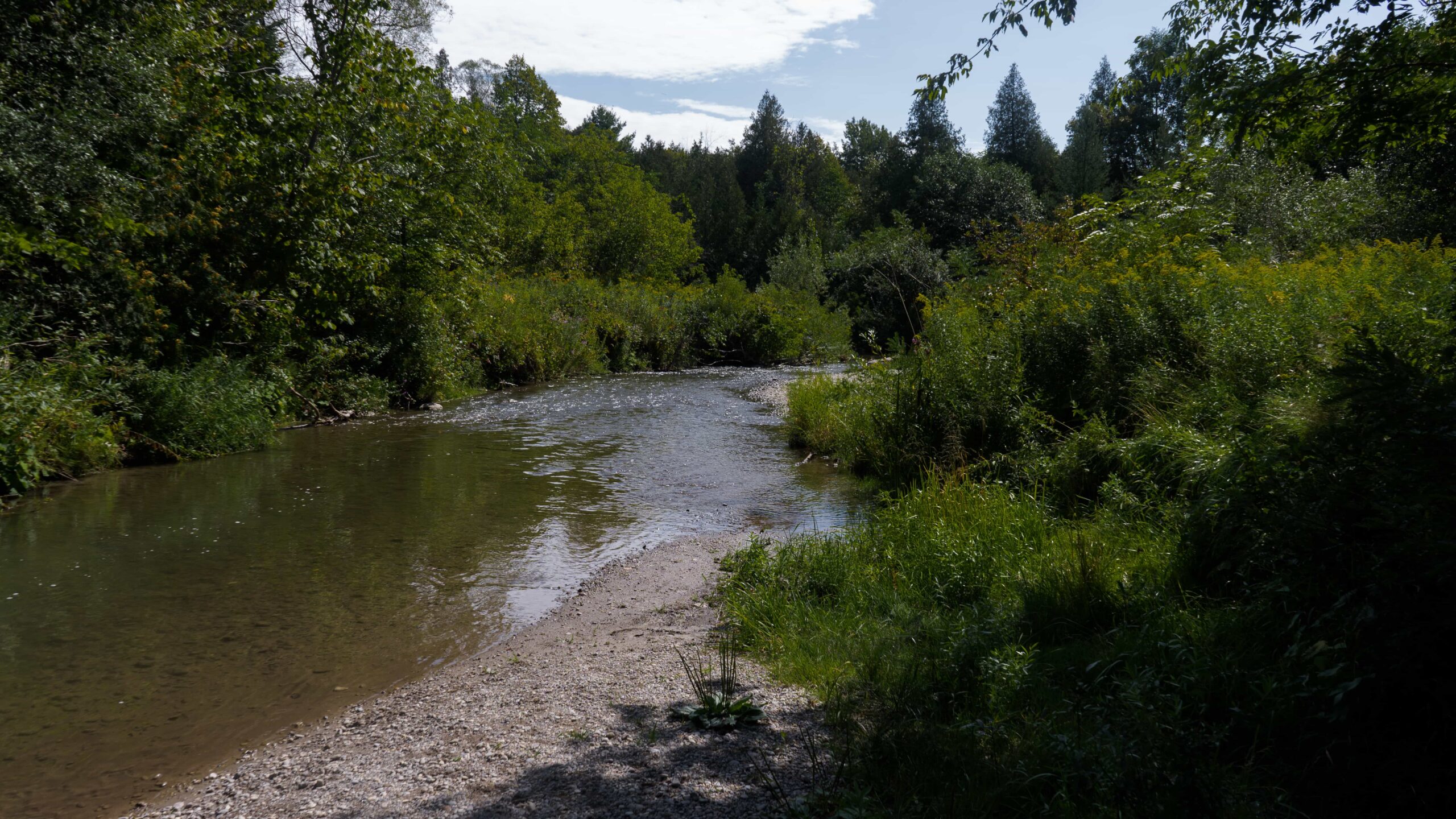
A creek cuts right through the park and offers lots of great rest stops and safe fresh water refueling, if needed. There are some rooty areas, but they’re limited – hike that bike, if you like. The quiet, slinky path winds and climbs for a fun rumble. Take the path to the park’s northern border,l it pops you out by Hwy 7, cross-over to Paddock Rd. heading north again, a scenic country road with many horse friends.
Claremont Conservation Area! If you’ve been following along with our adventures for a bit, you know that we try to explore off the beaten trail and this was one of our most prized finds – so we hope you enjoy it as much as we do. A short 10 mins after exiting Greenwood Conservation, you’ll arrive at the foot of Claremont Conservation area but peep the RWGPS map, it’s super easy to miss the entrance from this route.
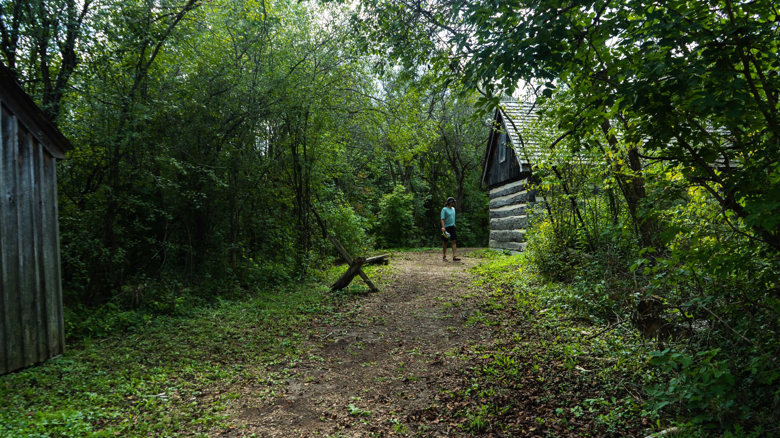
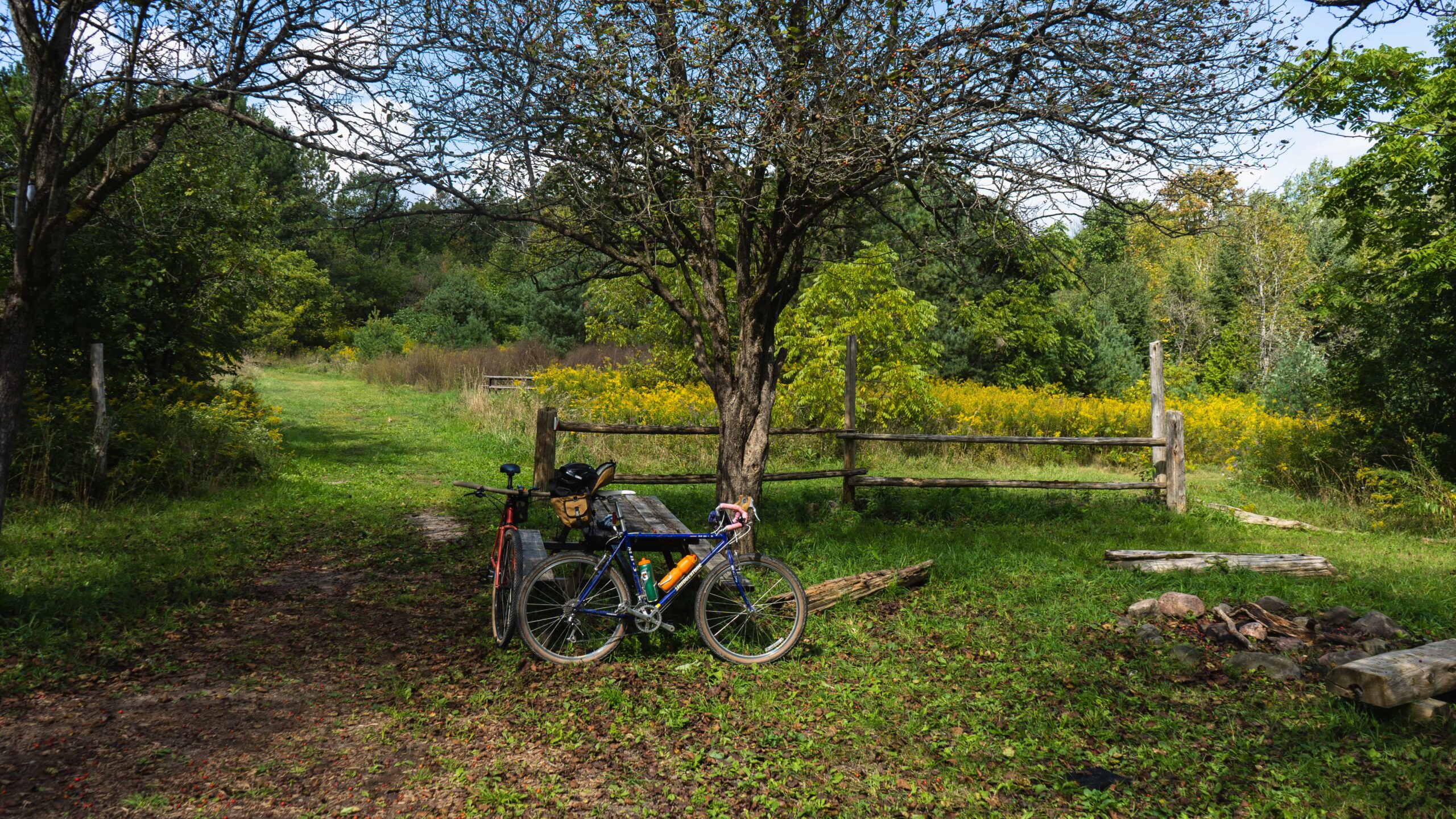
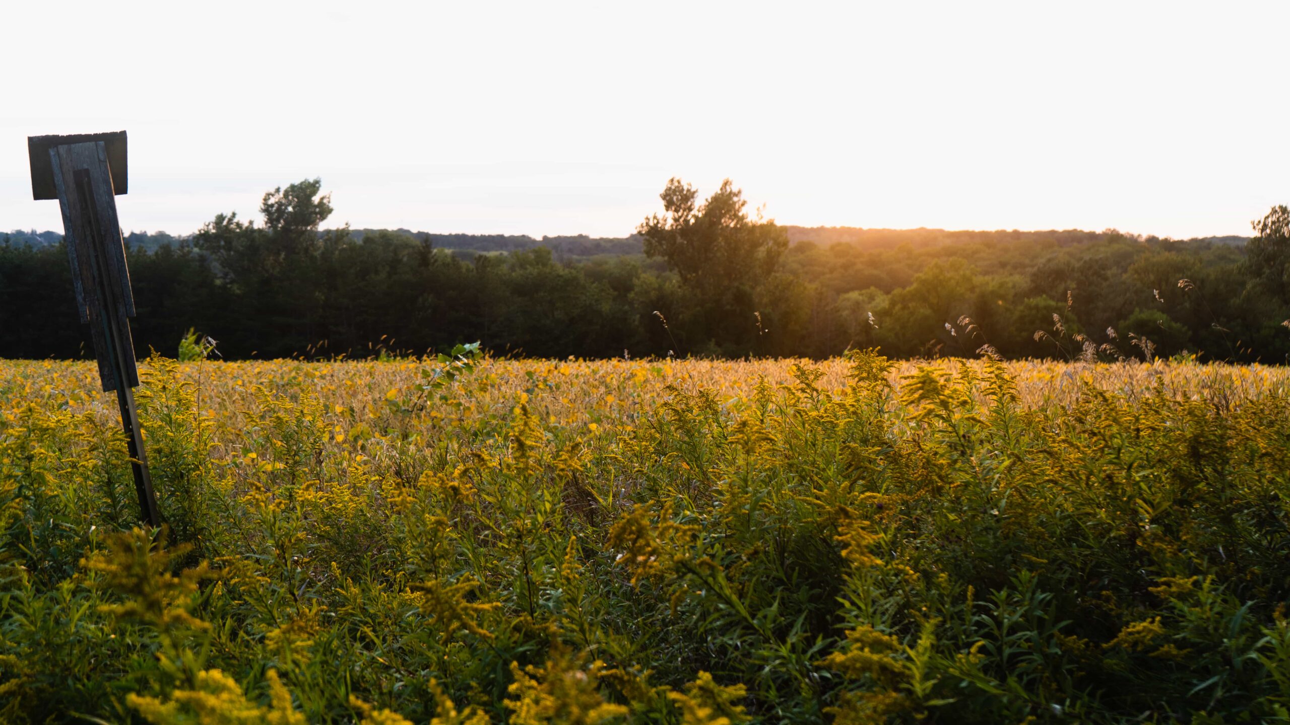
Claremont Conservation Area felt like the cyclists equivalent of an abandoned amusement park – overgrown, empty but there are still roller coasters and fun to be had. Check out the log cabin, with some picnic benches for a great photo opportunity and another great rest stop, get your Clif bars out.
3. Sideline Rd. (the climb)
Difficulty: High | Topography: Incline Terrain: Packed Gravel
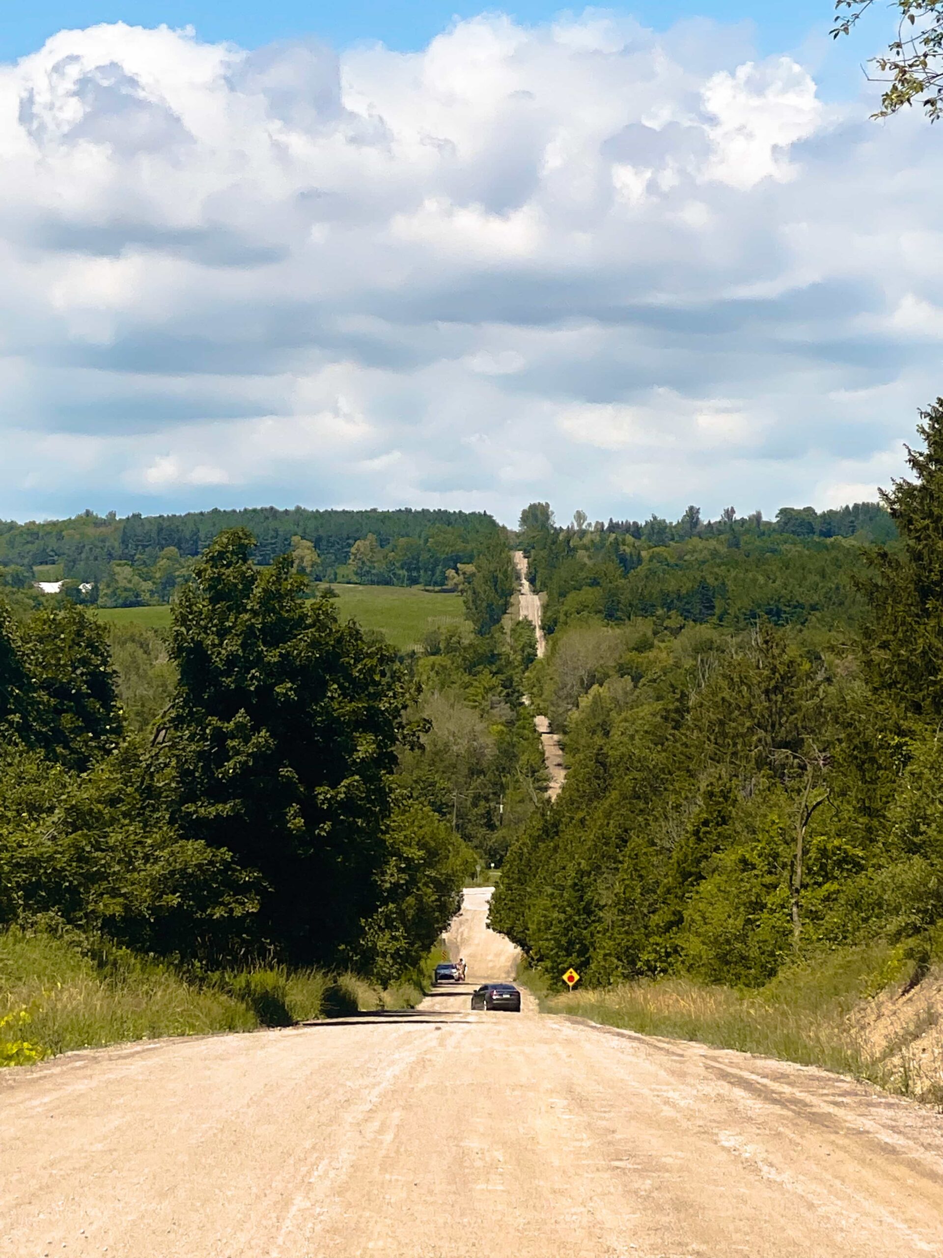
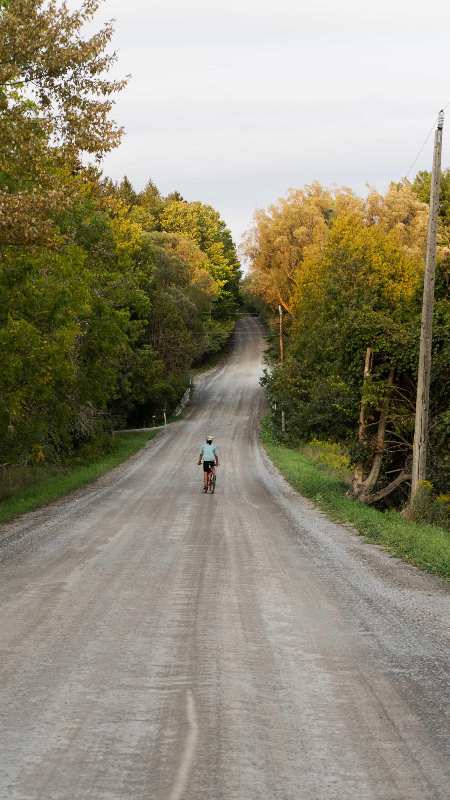
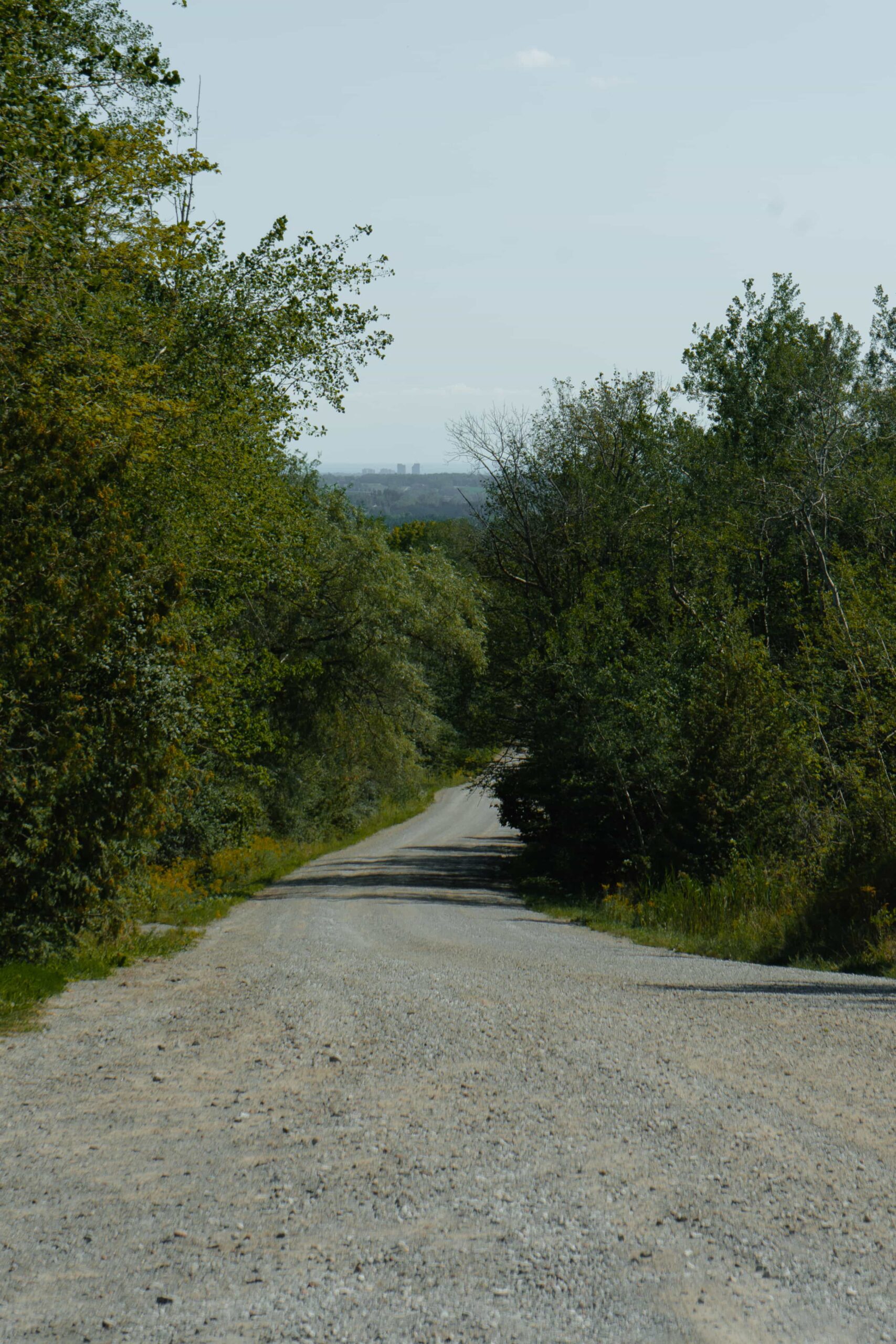
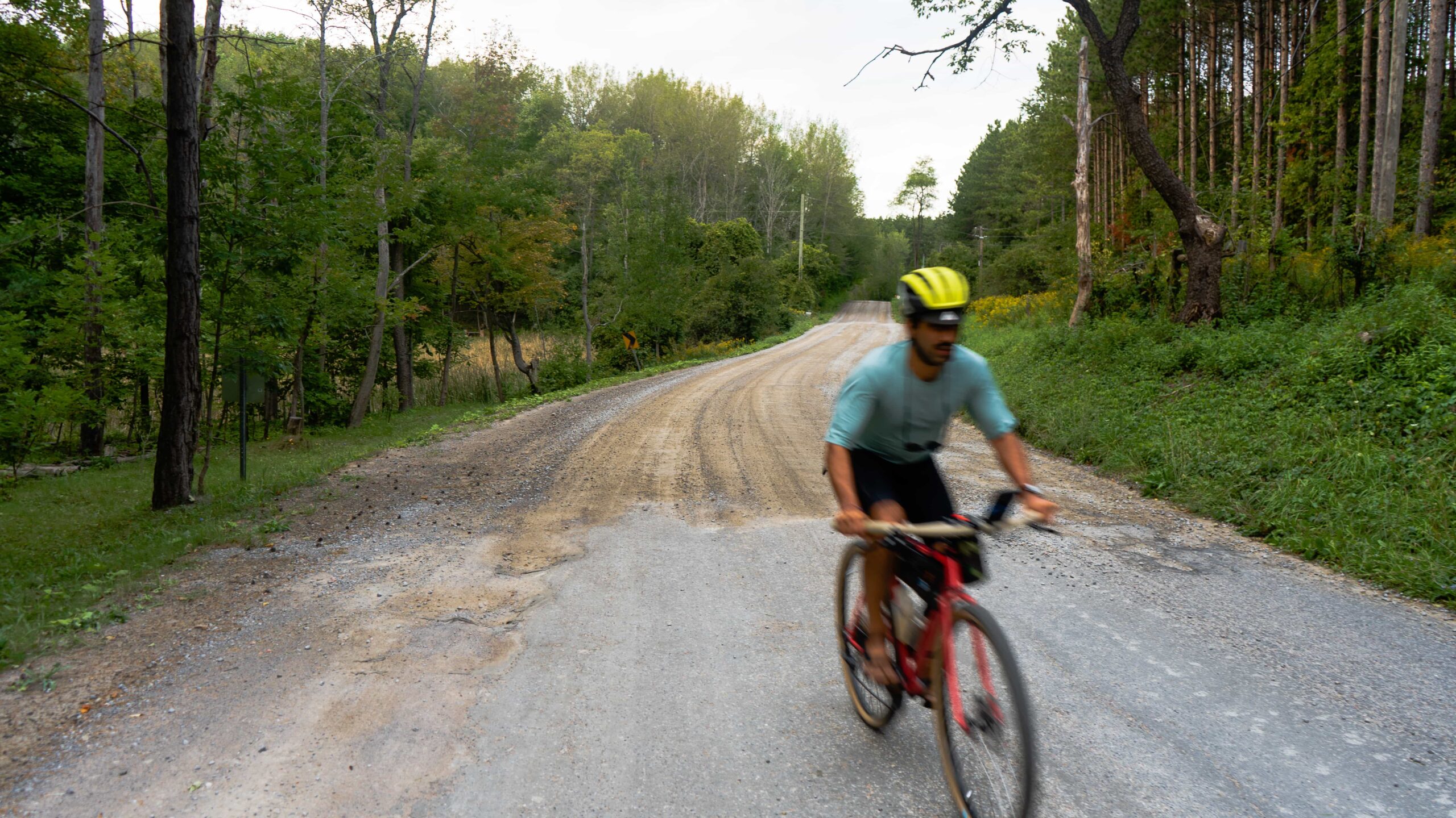
Well, we felt this climb needed it’s own section. Crunchy, gravelly straight line climbing. At first, it looks like it will never end and that it may end in heaven…but only the latter is true. You’ll be rewarded after, we promise. It’s about 100 meters of climbing and a pretty aggressive grade, a challenge for sure. If you’re on our routes, you’re probably not a bike bro who’s going to scoff at this 😉
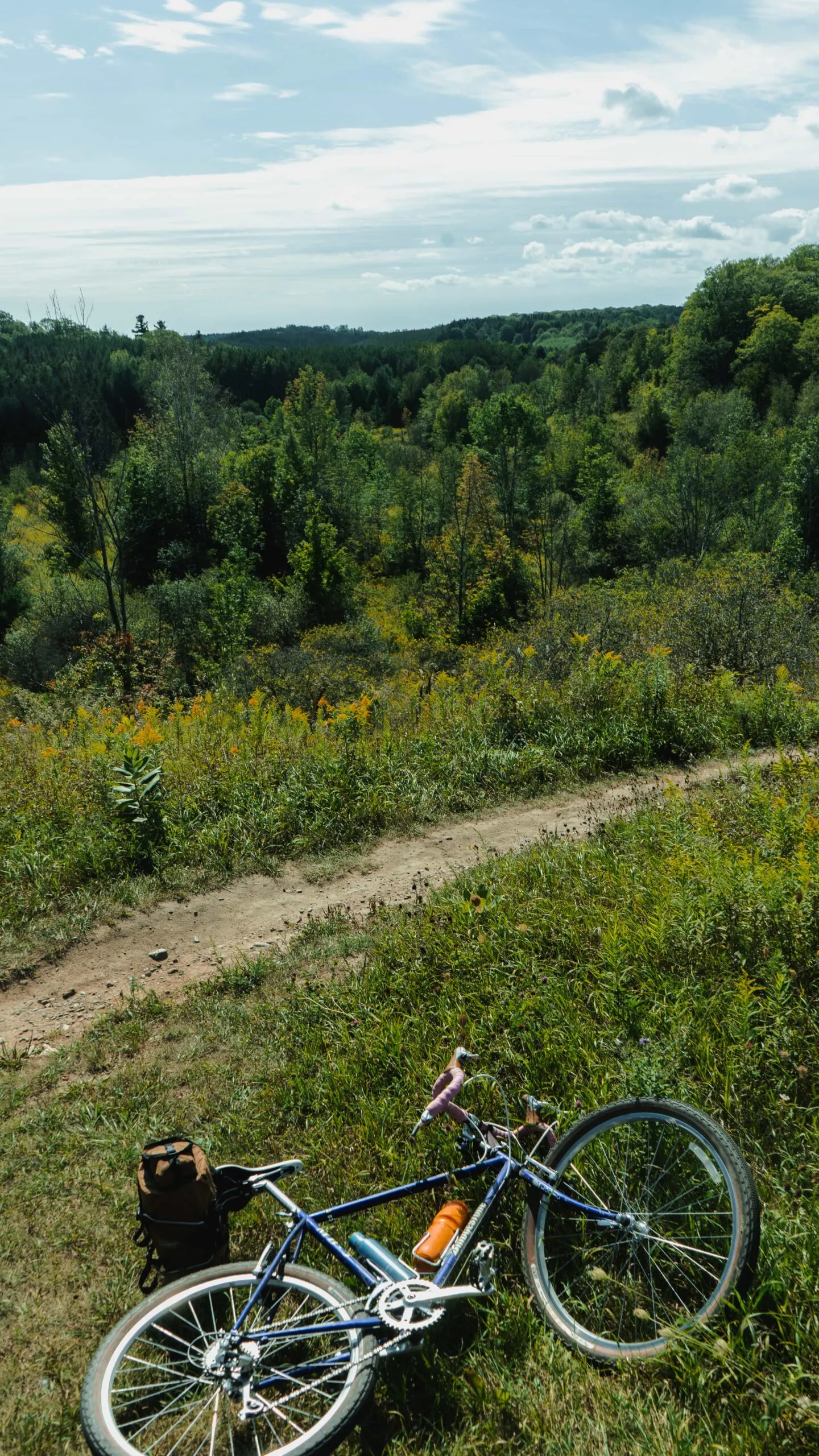
Take breaks, grab shade, hydrate, snack, walk your bike and enjoy the views of fields and farms left and right. When you do get to the top of the hill, take a look back and it’s a pretty incredible view.
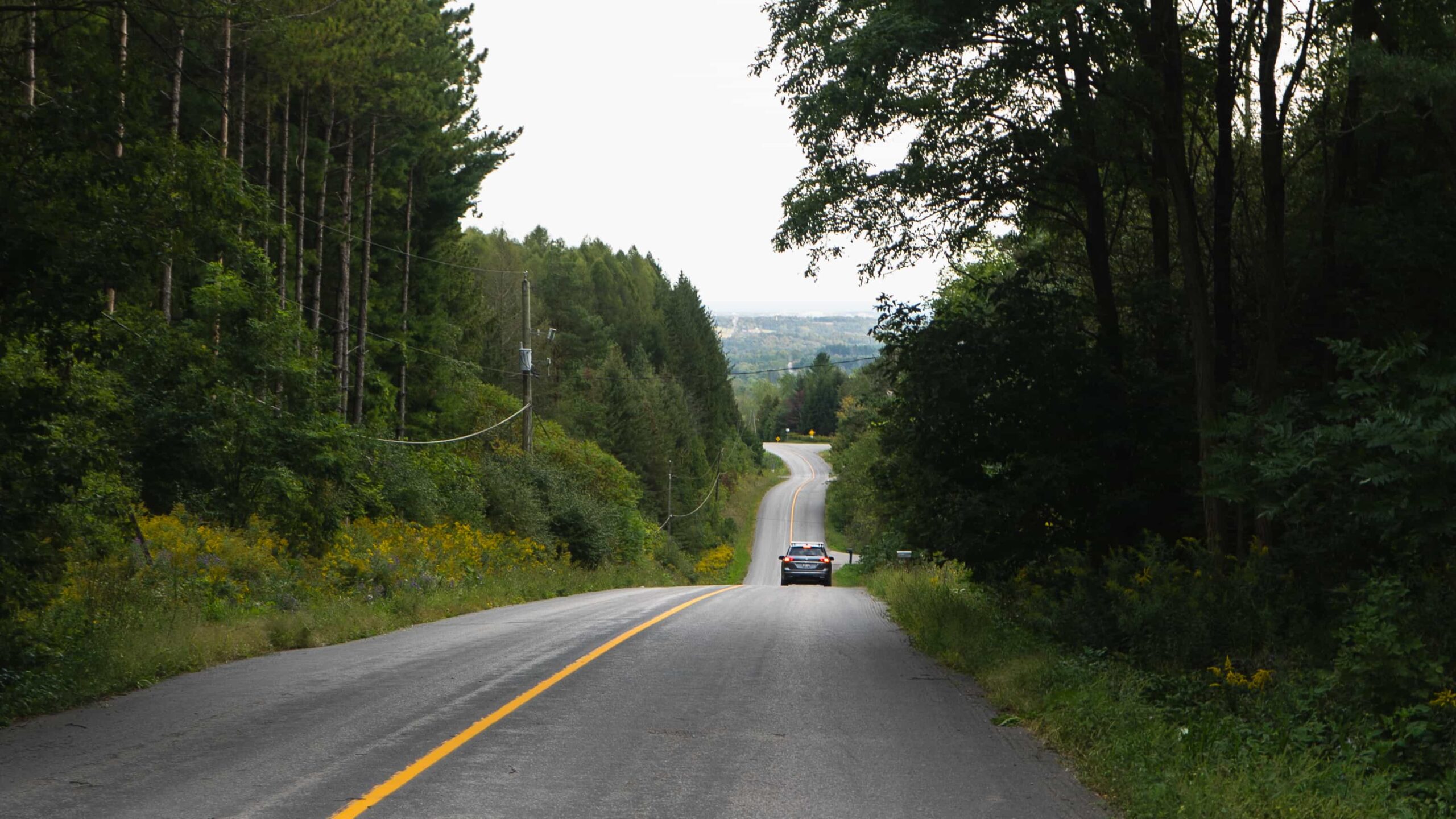
A quick right when at the top onto Uxbridge-Pickering Townline Rd. for another rumbling and exhilarating descent that’ll place you right at the foot of Glen Major Forest. Now you’re ready for the next episode.
4. Glen Major Forest & Walker Woods
Difficulty: Moderate | Topography: Incline Terrain: Dirt Trail & Single Track
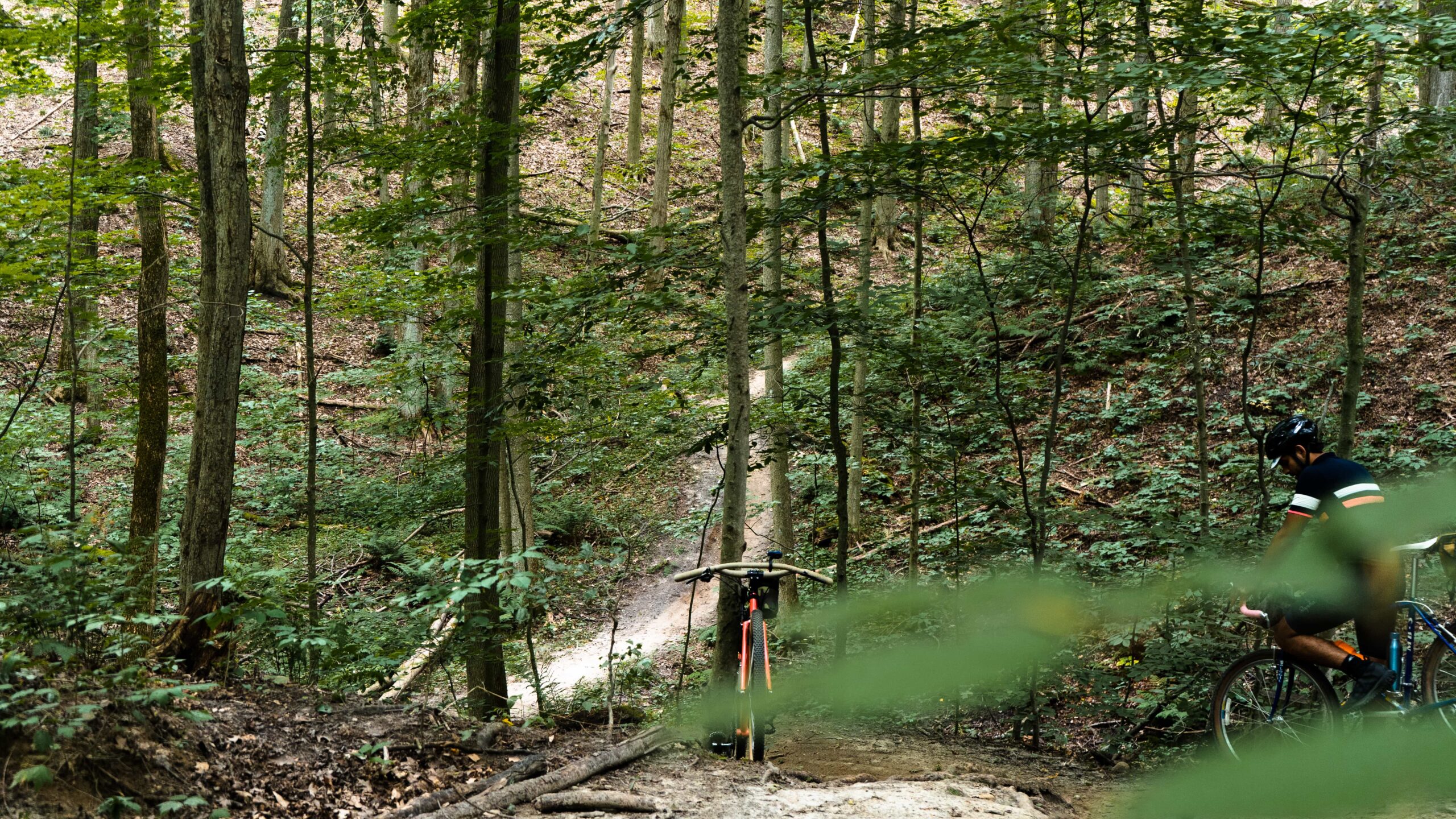
Flowy forest riding, fast climbing and faster diving hills with nice and wide paths (mostly!). Glen Major Forest and Walker Woods are conservation areas that are part of the beautiful Oak Ridges Moraine, which is on the Duffins Creek Watershed; the geography makes for incredible terrain, wildlife and breathtaking vistas. One of those moments like, ‘Damn…Ontario can be real pretty…’.
One of the best parts of both these areas is that they’ve been adapted for cycling so there’s ample room on the paths for both bikes, pedestrians and horses…and their giant poops. Probably try not to run over some fresh ones 😛
Both areas are large and expansive,and have criss-crossing paths in all directions so it’s real easy to get turned around…which is great, depending on when ya get there. Our RWGPS map will help, our path is going to take you north, while avoiding the very technical singletrack/MTB trails – but don’t let that stop you if it’s what you’re looking for.


